

The figures - including May, June and July - were taken from Derbyshire Police’s most up-to-date records in its crime map for Chesterfield.
Locations are given by policing area and the neighbourhoods within them.
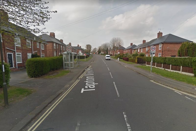
1. Dunston, Moor and St Helen's
Twenty-two reports. Policing area covers Whittington Moor, Sheepbridge and Newbold Photo: Google
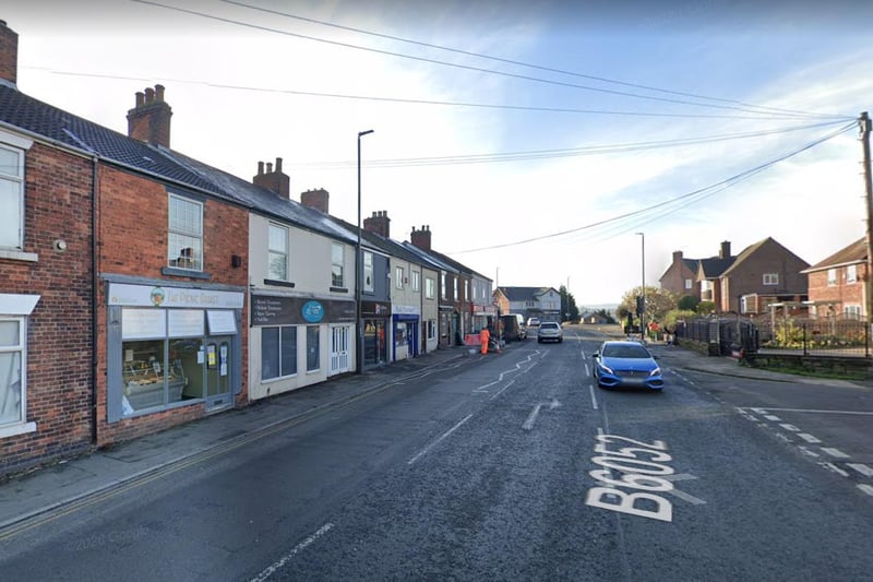
3. Staveley
Two reports. Policing area covers Netherthorpe, Woodthorpe, Mastin Moor and part of Staveley Photo: Google
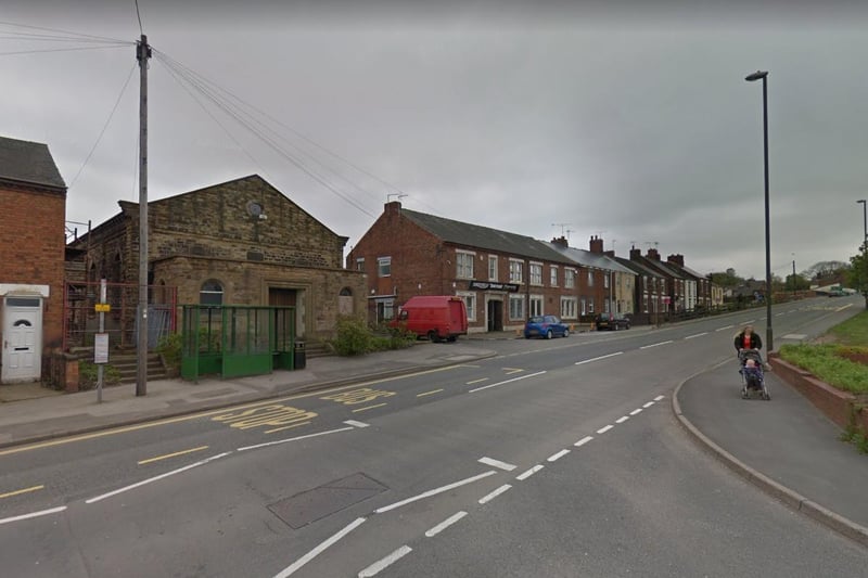
4. Bolsover and Shuttlewood
Six reports. Policing area also covers Oxcroft, Stanfree and Whaley Photo: Google
1 / 4